Log in
All resources
Create a design
5,876 Free Artworks of Image Map
maps in the library of congress
maps from the earth and its inhabitants, vol. iv
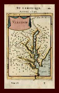
description de l'universe
alain manesson mallet
baroque
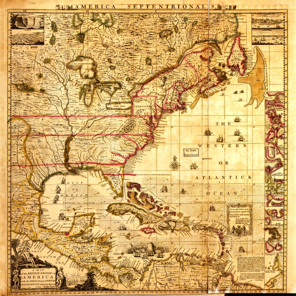
a map of the british empire in america with the french and spanish settlements adjacent thereto
maps from the earth and its inhabitants, vol. xiii
maps from the earth and its inhabitants, vol. xii
augustus kollner
maps from the earth and its inhabitants, vol. xv
geografia tavole moderne di geografia de la maggior parte del mondo di diversi avtori raccolte et messe secondo l'ordine di tolomeo con i disegni di molte città et fortezze di diverse provintie
maps in the library of congress
old maps of lycoming county, pennsylvania
maps in the library of congress
history of hauptmarkt (nürnberg)
neptunbrunnen (nürnberg)
maps in the library of congress
1877 maps of the united states
john rocque's 1746 map of london
old and new london (book)
nouveau cours d'instruction primaire de géographie (1886)
1886 maps of africa
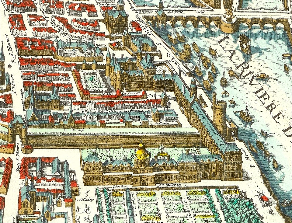
palais des tuileries before 1659
baroque
maps of ancona by braun & hogenberg
maps in the british museum
a map of the provinces of new york and new jersey, with a part of pennsylvania and the province of quebec
maps in the library of congress
19th-century maps of new jersey
maps of the delaware river
maps from the earth and its inhabitants, vol. iv
topographic maps of scotland
old maps of chania
1651 in chania
october 2022 in the canton of lucerne
2022 in lucerne
maps from the earth and its inhabitants, vol. vi
charles eugène perron
maps from the earth and its inhabitants, vol. xvii
maps of louisville, kentucky
maps from the earth and its inhabitants, vol. iv
boston, england
topographia braunschweig lüneburg (merian)
baroque
map of paris by claes jansz. visscher - derivate files
historical images of place des vosges
book covers from the british library mechanical curator collection
adolphe giraldon
maps from the earth and its inhabitants, vol. iv
topographic maps of the united kingdom
maps from the earth and its inhabitants, vol. xv
19th-century maps of british columbia
maps from the earth and its inhabitants, vol. xiii
maps of weather and climate of south africa
old maps of la gomera
1878 maps of spain
maps from the earth and its inhabitants, vol. xii
19th-century maps of senegal
maps from the earth and its inhabitants, vol. iv
topographic maps of ireland
maps from the earth and its inhabitants, vol. xv
19th-century maps of british columbia
maps from the earth and its inhabitants, vol. xiv
1870s maps of new zealand
maps from the earth and its inhabitants, vol. iv
old maps of the lake district
description de l'universe
old maps of andros
maps in the library of congress
1721 maps
maps in the library of congress
1791 maps
illustrations from la grande encyclopédie, inventaire raisonné des sciences, des lettres et des arts
historical images of palais bourbon
maps in the stadsarchief amsterdam
prints by dirk jurriaan sluyter
maps from the earth and its inhabitants, vol. ix
maps of telegraph lines
maps from the earth and its inhabitants, vol. iv
maps of portland, england
maps from the earth and its inhabitants, vol. viii
demographic maps of thailand
maps from the earth and its inhabitants, vol. xiii
ethnographic maps of africa
maps from the earth and its inhabitants, vol. vii
maps of xuanzang's travels
old maps of south africa
maps of the great trek
maps from the earth and its inhabitants, vol. iv
maps of loch fyne
maps from the earth and its inhabitants, vol. vii
maps of the yellow river
maps from the earth and its inhabitants, vol. iv
mouth of tay
maps from the earth and its inhabitants, vol. x
19th-century maps of egypt
maps of rivers of senegal
bafing river
maps from the earth and its inhabitants, vol. xi
maps indicating exploration
maps from the earth and its inhabitants, vol. xv
maps indicating exploration
maps from the earth and its inhabitants, vol. xii
maps of icebergs
maps from the earth and its inhabitants, vol. iv
maps of kirkwall
maps of the western cape
breede river
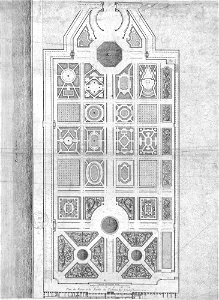
historical images of jardin des tuileries
engravings by israël silvestre
lumenera skynyx 2-1 images of the moon
nonius (crater)
lumenera skynyx 2-1 images of the moon
parrot (crater)
maps in the library of congress
emory place historic district
maps in the stadsarchief amsterdam
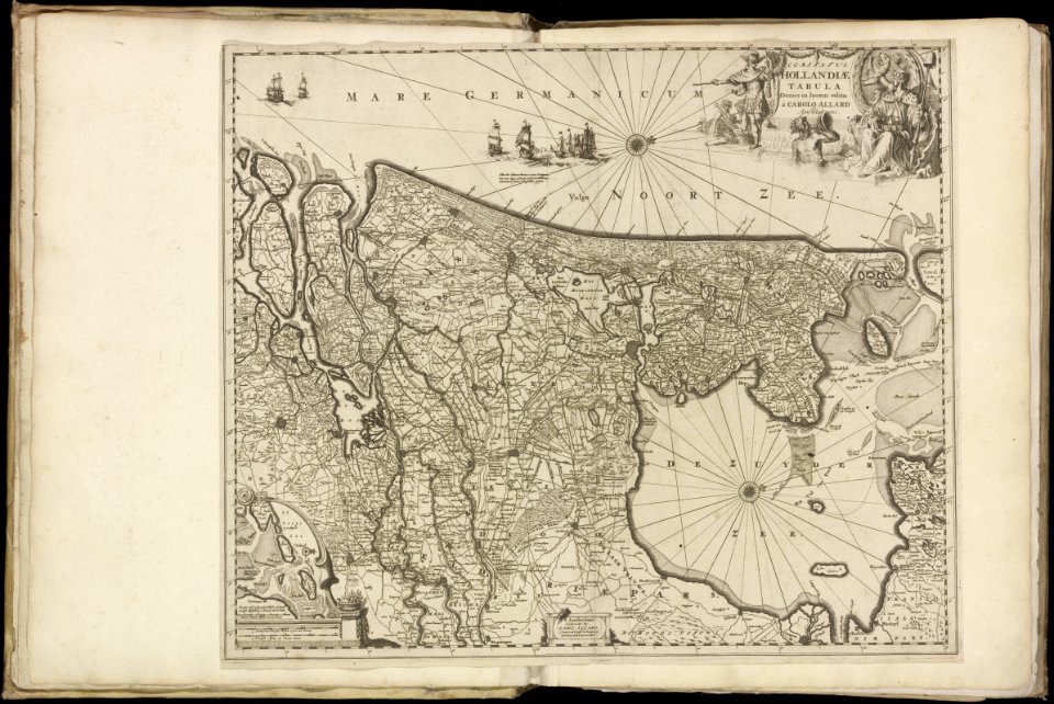
maps by carolus allard
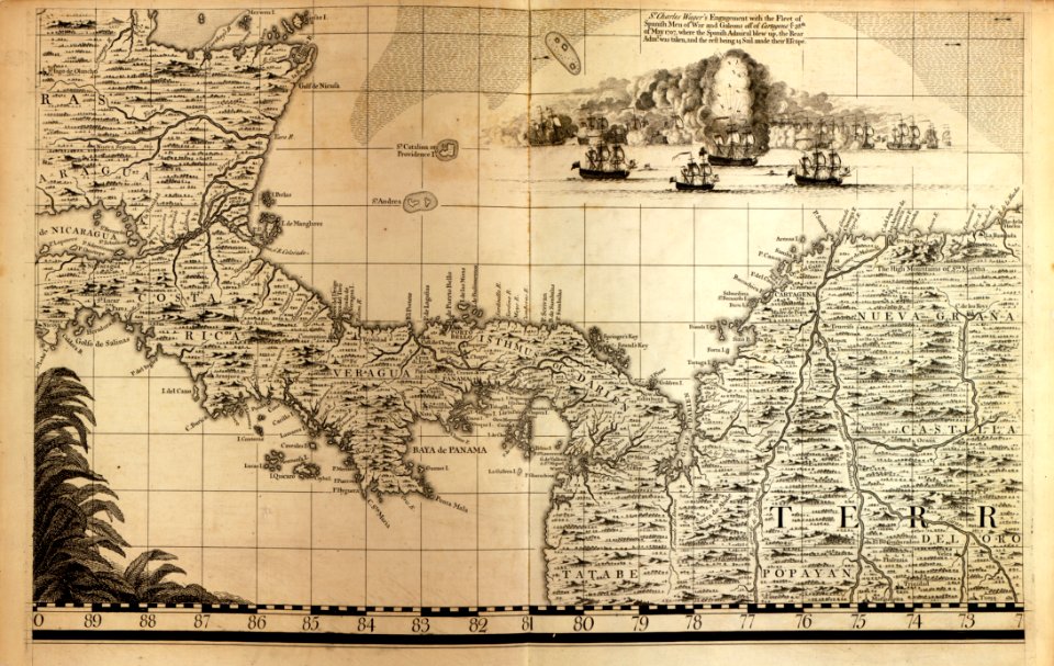
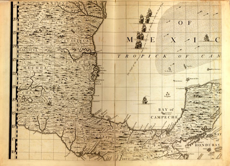
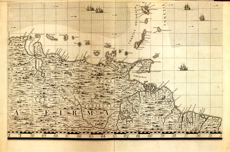
a map of the british empire in america with the french and spanish settlements adjacent thereto
maps in the library of congress
a map of the british empire in america with the french and spanish settlements adjacent thereto
maps in the library of congress
a map of the british empire in america with the french and spanish settlements adjacent thereto
maps in the library of congress
a map of the british empire in america with the french and spanish settlements adjacent thereto
maps in the library of congress
a map of the british empire in america with the french and spanish settlements adjacent thereto
maps in the library of congress
maps in the library of congress
1771 maps of north america
géographie générale; physique, politique et économique (1876)
1870s maps of germany
nouvelle géographie universelle, vol. xii
old maps of la gomera
thomas robert macquoid
maps of the ardennes
19th-century maps of southern africa
1890s maps of africa
géographie générale; physique, politique et économique (1876)
1870s maps of china
maps in the library of congress
1765 maps
maps of the battle of leipzig
gartenlaube (1863)
historical images of the hôtel de soubise
hôtel de rohan
maps in the library of congress
civitates orbis terrarvm
old maps of the strait of gibraltar
a school geography (1898) by bird
geological maps of pennsylvania
1885 maps of philadelphia
malebné cesty po praze (1884)
old maps of czechia
geological maps of pennsylvania
1885 maps of philadelphia
orbispictus - extracted images
17th-century maps of europe
description de l'universe
old maps of virginia
description de l'universe
old maps of greece
maps in the library of congress
pre-raphaelite brotherhood
maps in the library of congress
1850 maps of new york (state)
maps in the library of congress
1857 maps of pennsylvania
works after polidoro da caravaggio
maps in the british museum
john rocque's 1746 map of london
old and new london (book)
maps in the national library of scotland
blaeu atlas of scotland 1654
historical images of mali
catalan atlas
birckenstein handgriffe (image set)
historical images of székesfehérvár
the comprehensive history of england (1876)
english-language maps showing history
maps of the spanish-american war
1890s maps of the philippines
maps of the spanish-american war
1890s maps of the philippines
photos of the moon by lunar reconnaissance orbiter
robinson (crater)
old hemisphere world maps (partner files)
arnold's geographical handbook (1899)
collections of the british library
the child's geography (1879)
17th-century maps of italy
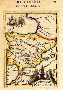
description de l'universe
1680s maps of the iberian peninsula
description de l'universe
description de l'universe
1680s maps of italy
17th-century maps of italy
description de l'universe
17th-century maps of the iberian peninsula
description de l'universe
description de l'universe
1685 maps of europe
engravings of topographia braunschweig lüneburg
baroque
topographia braunschweig lüneburg (merian)
baroque
engravings of topographia braunschweig lüneburg
baroque
maps in the library of congress
1776 maps
601 - 700 of 5,876
Next page
/ 59